Magnetic Storms Found to Reduce Navigation Accuracy by Up to 50%
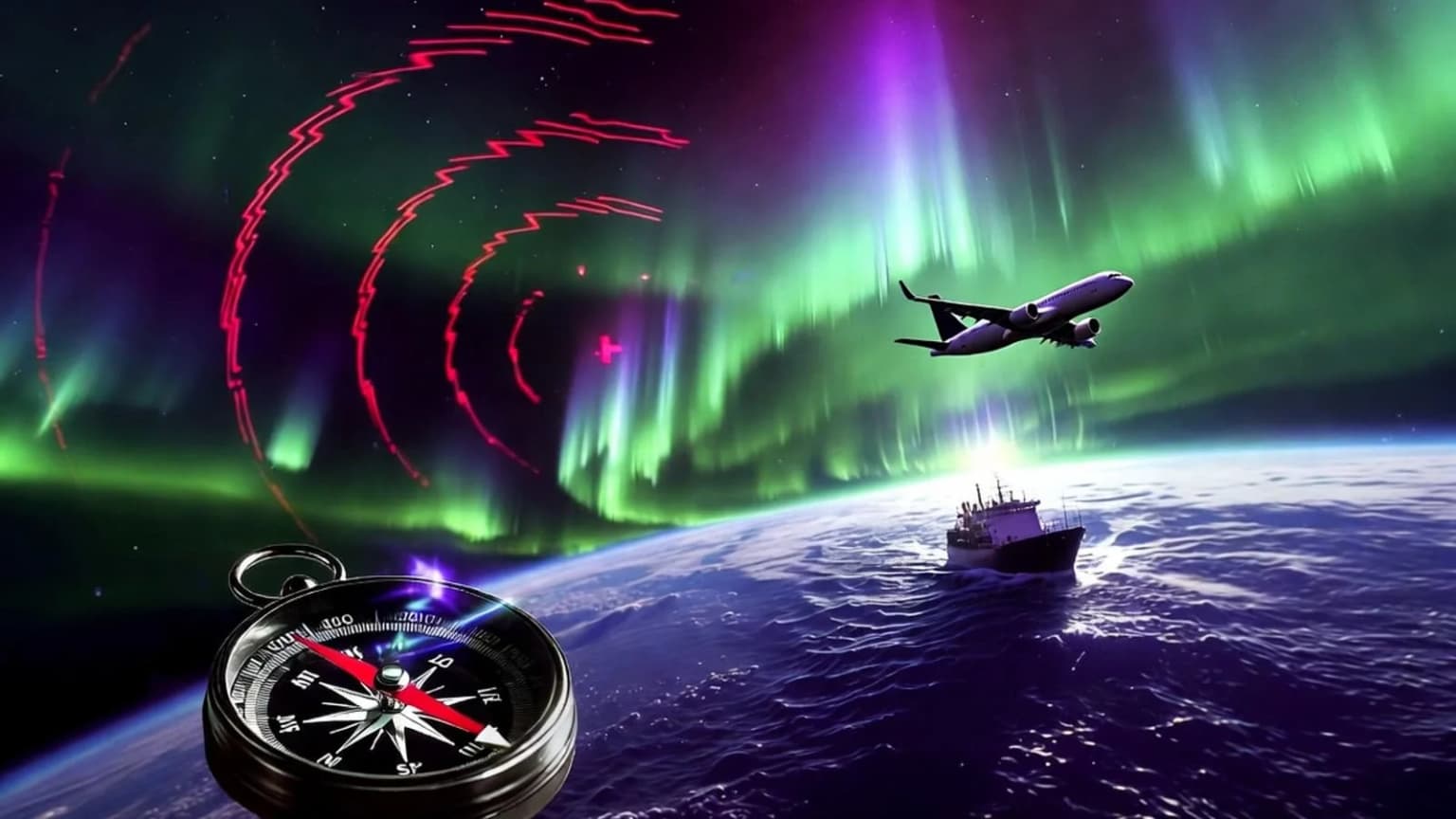
Anton Tyutyukov, a researcher at Perm National Research Polytechnic University, studied the impact of geomagnetic storms on satellite navigation systems. According to the study, measurement accuracy deteriorates significantly during such periods, and in some cases, the error rate can increase by up to 50%. Ixbt.com reports .
For ordinary users, for example, the accuracy of coordinate determination in smartphone maps decreases by 14%. However, the biggest problem manifests in unexpected jumps: the chaotic movement of the navigation marker from one point to another increases by 33% to 50%. This causes the navigator to indicate a location across the street or in the wrong building wing.
Geomagnetic fluctuations cause serious problems, especially in altitude determination. This parameter is critical for geodesists, builders, and surveyors. According to the study, altitude measurement errors increase by 20% during magnetic storms, which can lead to critical mistakes in foundation pouring or structure installation.
The average error in determining location coordinates increases by 23.5%, and the scatter of results reaches 50%. This means the object's actual position shifts by tens of centimeters from the calculated point. Such deviations are considered dangerous in construction and monitoring work requiring high-precision satellite navigation.
An unexpected effect was also identified during the study: on quiet days, strong malfunctions are observed at more stations, but on stormy days, the average error value is much higher. It is assumed that the global disturbance of the geomagnetic field alters the overall noise statistics, seemingly suppressing local error sources.


Comments 0
…