View of the world's largest and smallest countries in one diagram
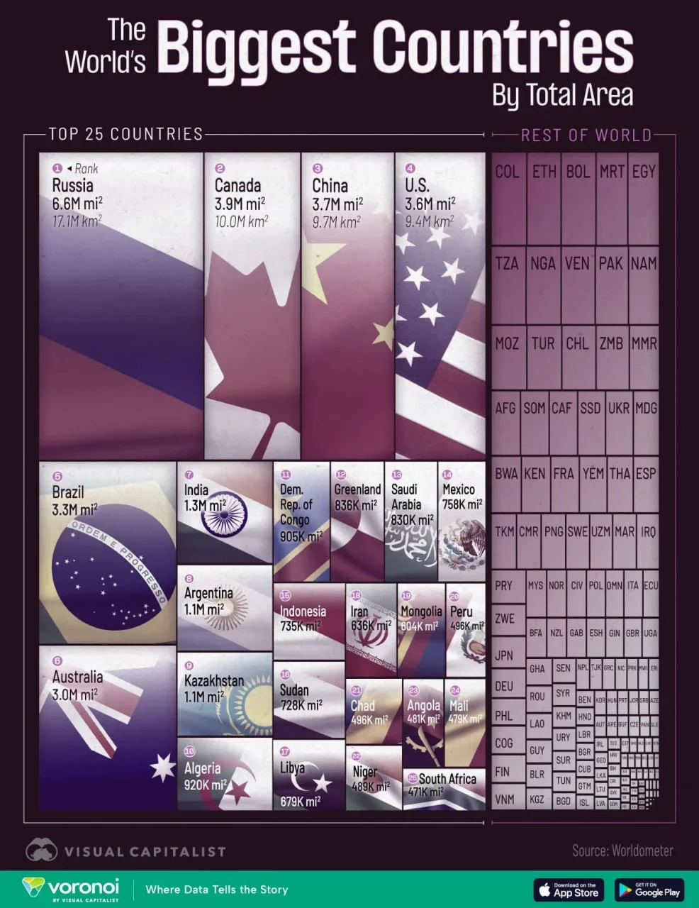
In the new infographic, prepared by Visual Capitalist specialists, the area of countries was rearranged based on the sum of two indicators - land and inland water bodies (lakes, rivers, reservoirs). Therefore, it is also noticeable that areas rich in lakes prevailed in the results.
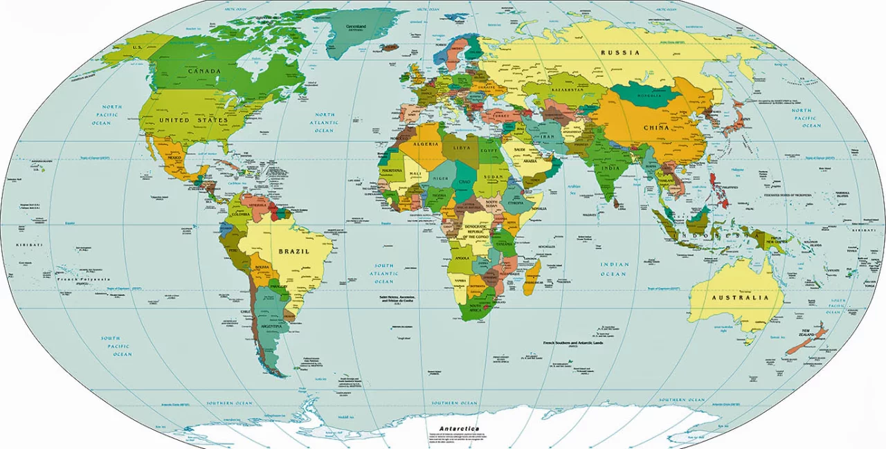
The four largest countries on the planet remain unchanged: Russia, Canada, China, and the USA together occupy almost 30% of the Earth's landmass. Russia is the absolute leader: the country stretches into an 11-hour zone connecting Europe and Asia, with more than 65% of its territory belonging to the permafrost zone.
Canada is distinguished by similar natural landscapes: tundra and taiga in the north, Arctic climate prevails. However, the population density map shows a completely different picture - according to statistics, approximately two-thirds of Canadians live about 100 kilometers from the US border. The abundance of lakes (large inland water area) further increases the indicator of the country's total area.
In China and the USA, along with the territorial scale, climate and geographical diversity are noted: from the Gobi Desert to subtropical forests, from the Colorado canyons to the Great Lakes basin. The calculation of the total area at the expense of internal waters finds its place in both countries.
At the other end of the spectrum are very compact regions. Monaco is a principality spanning only 2.1 square kilometers and is the second smallest sovereign state after the Vatican. Despite its modest size, it has a population of about 39 thousand people - one of the most densely populated areas in the world.
Gibraltar, as a British overseas territory, occupies an area of 6.8 square kilometers. Its geopolitical significance is extremely high: it is located at the southern tip of Spain, at the very heart of the main maritime corridor connecting the Atlantic Ocean with the Mediterranean Sea.
In conclusion, the new visualization clearly demonstrated not only the "adult club," but also areas of strategic or demographic significance, despite the small size of the area. It also showed how adding inland water bodies affects the results when calculating the total area.


Comments 0
…