


World's First: Tashkent launches "green" and shaded routes on maps
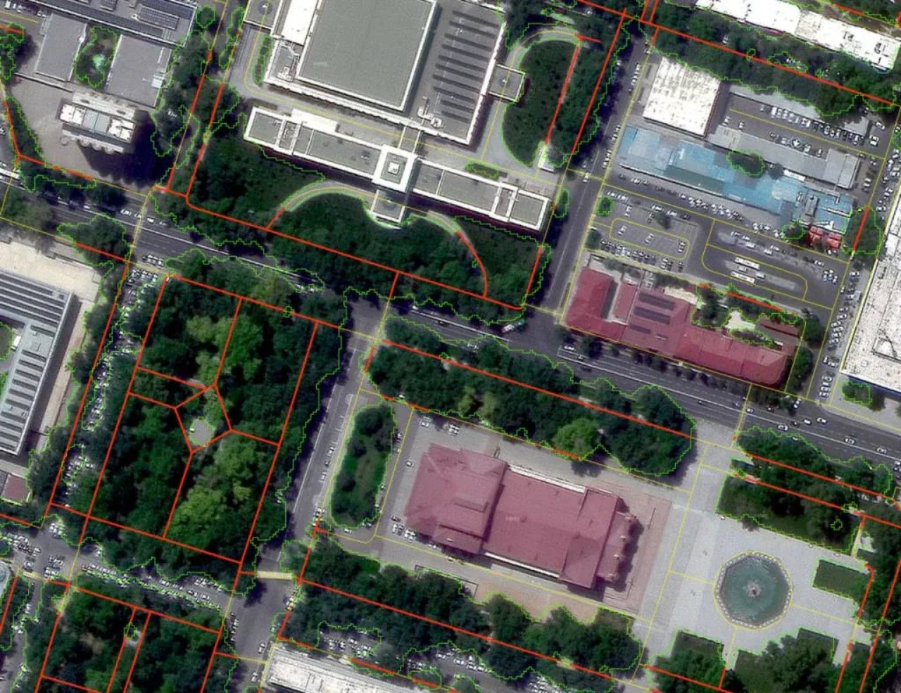
Photo: uza.uz
The capital of Uzbekistan has become the first city in the world to initiate a new global trend in climate change adaptation and pedestrian navigation. According to the prominent international tech publication "Techloy", Tashkent has become the first city where a "green" route system that takes into account roadside trees and shade levels on pedestrian maps has been fully launched at the level of a mass service with millions of users. This unique initiative has outpaced similar research in leading countries such as the USA, Germany, and South Korea, and is recognized as the world's first fully implemented precedent in practice.
World's First Mass Service: The "Yandex Maps" Revolution in Tashkent
The digital solution implemented in our capital has caught the attention of international experts:
Recognition by "Techloy": The international publication specifically noted that Tashkent has become a global leader in adapting urban navigation to climate change;
August Launch: Uzbekistan entered this list in August thanks to the introduction of a special pedestrian route by the "Yandex Maps" service for the city of Tashkent, which takes trees and shaded paths into account;
Leadership in Global Competition: Although similar projects calculating shade levels are also being developed in the USA, Germany, and South Korea, Tashkent has become the very first city on Earth to implement such a function in a major mass-market service used daily by millions of residents.
Relief from the +40°C Heat: Health and Urban Mobility
For a megalopolis where temperatures rise sharply during the summer months, this is not just a convenience, but a vital social necessity:
Protection from the Heat: In conditions where the air temperature in Tashkent regularly reaches +35...+40°C in summer, pedestrians avoiding the scorching sun and moving along cool, shaded paths helps prevent heatstrokes;
Labor Productivity and Convenience: The ability to choose shaded routes for walking makes active movement easier for city residents, reduces fatigue, and directly contributes to increased labor productivity;
Smart Algorithms: Through artificial intelligence and satellite data, the navigation system calculates the daytime shadows cast by tree canopies and buildings along streets to suggest the coolest route.
Trees: No Longer Just Plants, But Vital Urban Infrastructure
This technological achievement also imposes new demands on urban management and environmental policy:
Signal from IT Giants: As experts emphasize, if major tech companies recognize trees and shade as an integral factor in navigation systems, city administrations must also fundamentally change their approach to urban planning policies;
Infrastructural Value: City municipalities are obligated to protect every tree not merely as decorative landscaping, but as a critical infrastructure object ensuring the movement and health of the population.
Have you tried using the "green" and shaded routes feature when walking around Tashkent? In your opinion, how much of an impact can the maps starting to calculate shade have on the fight against tree cutting and the creation of new green alleys in the city? Leave your thoughts in the comments!



Comments 0
…