


2GIS introduces a new navigation mode working without GPS signal
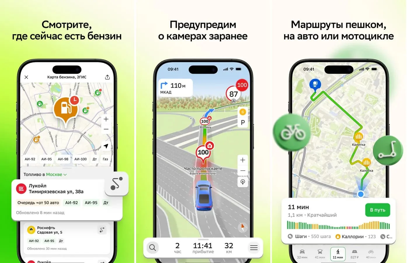
According to TASS, the popular 2GIS geoservice has launched an inertial navigation mode that allows it to accurately show the route even when satellite signals are temporarily lost. This technology helps users reach their destination without getting lost, even in areas where GPS, GLONASS, and BeiDou systems are unavailable. This is reported by Ixbt.com reports .
As known, the app normally uses standard satellite networks to determine its position. When quality dropped, Wi-Fi and Bluetooth network data were also utilized to increase accuracy. Now, built-in sensors of modern smartphones have been added to these sources.
How inertial navigation works
The new mode relies on the capabilities of internal sensors in the device, such as the accelerometer and gyroscope. Specifically, the accelerometer records the device's acceleration and helps determine the speed of movement. The gyroscope tracks the direction of movement and turns.The app cross-analyzes the readings obtained in this way, the last known geoposition, and digital map data. As a result, the user's location is continuously calculated even until a stable satellite connection is restored.
In which cases is it very useful?
This technology is considered especially useful in complex areas where the GPS system works weakly or not at all. In particular, drivers and pedestrians can experience the benefits of this feature in the following places:- When moving inside tunnels
- In underground parking lots
- In major city centers with dense buildings


Comments 0
…